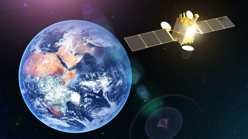
Canada’s border may soon be watched from hundreds of kilometres above Earth, with artificial intelligence helping Mounties decide where to look more closely. The RCMP is participating in a federal research project that combines commercial satellite imagery, automated change detection and geospatial tools to produce near-real-time alerts about activity along the border.
The $2.23-million initiative, led by Vancouver-based EarthDaily Analytics for Defence Research and Development Canada, is called Space-based Monitoring, Alerts and Tactical Awareness Knowledge, or SMATAK. Its goal is not to replace officers with algorithms or create a continuous live feed of the country’s perimeter. Instead, the project is testing whether daily satellite observations can help analysts and field personnel spot potentially important changes faster, especially in remote areas where traditional patrols and fixed sensors face obvious limits.
A $2.23-Million Test, Not a Full Deployment
The new system is best understood as a controlled technology trial rather than a nationwide operational rollout. Federal procurement records show that Defence Research and Development Canada awarded EarthDaily Analytics a contract valued at $2,232,852.16 for SMATAK, with the work scheduled to run through March 31, 2027. The stated objective is unusually specific: develop and simulate interfaces that can deliver AI-powered, near-real-time border intelligence derived from daily satellite imagery directly to RCMP personnel.
That distinction matters. The project is designed to test whether the technology is useful enough, accurate enough and practical enough to support real policing workflows. EarthDaily says the work will culminate in a final end-to-end demonstration in 2027, followed by technical recommendations and a feasibility assessment. Only after that evaluation would the RCMP be in a position to consider what, if anything, should be procured or deployed more broadly along Canada’s border in future operational use nationwide.
How the Satellite-to-Officer System Would Work
SMATAK is being built as a chain that turns imagery into information an officer could actually use. EarthDaily says the pilot will combine daily satellite data with AI-powered change detection, an analyst Alert Centre, ArcGIS mapping tools and the Tactical Awareness Kit ecosystem. The purpose is to identify changes or activities of interest, then communicate those findings through near-real-time alerts rather than leaving analysts to manually inspect enormous volumes of imagery.
The phrase “near real time” is important. This is not described as a live video stream from space. The underlying system relies on daily Earth-observation imagery, which is processed and compared so that potentially meaningful changes can be surfaced quickly after collection. CanadaBuys says the interfaces are intended for RCMP users at national, regional, analytical and field levels. In practice, the value would come from shortening the path between a satellite observation, analyst assessment and a possible ground response.
Why Space-Based Monitoring Fits Canada’s Border
The geography explains much of the appeal. The Canada–United States boundary stretches 8,891 kilometres, or 5,525 miles, making it the world’s longest land boundary between two adjoining countries. It crosses forests, farmland, waterways, mountain terrain and remote northern areas, while also touching densely travelled corridors. The International Boundary Commission maintains more than 8,000 monuments and reference points along that line, a reminder of just how physically extensive the border is.
The RCMP’s federal border-integrity role focuses heavily on areas between official ports of entry, where permanent infrastructure cannot cover every kilometre. Satellite monitoring offers a different kind of reach: broad-area observation from above, repeated over time, without requiring a patrol vehicle, aircraft or tower to be physically present at each location. SMATAK is specifically intended to test whether that wider view can help personnel identify and evaluate activity of interest across geographically isolated areas more efficiently across much wider territory.
Satellites Would Join Drones, Towers and Helicopters
The RCMP is not starting entirely fresh. Its current border-surveillance mix already includes helicopters, drones and mobile surveillance towers, all monitored through the Border Integrity Operations Centre. The force has said it procured 60 drones for integrated border-enforcement missions, while the Canadian Armed Forces supplied more than 40 additional secured drones. Three chartered Black Hawk helicopters have also been used to address surveillance and response gaps along the Canada–U.S. boundary.
Those aircraft supplement the RCMP’s existing helicopter fleet. The force has reported nine helicopters in total, six of which support border surveillance and are equipped with thermal-imaging sensors. Satellite intelligence would therefore add another layer rather than replace the tools already in the air or on the ground. A satellite alert could potentially help narrow attention to a specific area, while drones, helicopters or officers provide closer observation and response. That layered model supports Ottawa’s push for round-the-clock border awareness.
AI’s Job Is to Find Changes, Not Make Arrests
The artificial-intelligence component is primarily about filtering and prioritizing information. EarthDaily describes the pilot as using automated change detection to identify potential changes or activities of interest in repeated satellite observations. Research in Earth observation has shown why this is useful: modern AI systems can compare imagery over time, highlight areas that appear different and reduce the amount of raw data that human analysts must inspect manually.
That does not mean an algorithm will decide that a crime occurred. The project materials repeatedly frame the output as intelligence for analysts and field users, while the RCMP says new operational technologies must be tied to clear policing objectives, assessed for accuracy and subject to human accountability. Its National Technology Onboarding Program gives artificial-intelligence tools high priority for review because of their potential privacy and ethical implications. Here, AI acts like a digital spotter, flagging where humans may need a closer look.
EarthDaily’s Constellation Is Built for Repeated Change Detection
EarthDaily’s technology is designed around frequent, consistent observation rather than occasional one-off images. As of August 2026, the company’s public constellation tracker listed eight active satellites within a planned 10-satellite system. EarthDaily markets the network around daily global observation and change detection, with imagery processed into analysis-ready data so software can compare the same locations repeatedly instead of treating every image as an isolated snapshot.
That consistency matters for automated monitoring. A system looking for meaningful changes must distinguish a new road, vehicle pattern or disturbed area from differences caused by viewing angle, atmosphere or ordinary seasonal variation. EarthDaily says its platform is built to reduce that noise and produce AI-ready information more quickly. SMATAK does not depend solely on one satellite pass or one sensor reading; its concept is to combine repeated Earth-observation data with automated analysis and familiar geospatial tools, then deliver the resulting intelligence into RCMP workflows.
Privacy and Oversight Will Be Part of the Conversation
Any expansion of AI-enabled police surveillance is likely to draw scrutiny over privacy, proportionality and accountability, even when the sensors are observing broad geographic areas rather than reading private messages. The RCMP has already created a formal process for reviewing emerging operational technologies. Its National Technology Onboarding Program was established in 2021 after the federal privacy commissioner’s investigation into the force’s use of Clearview AI facial-recognition technology found problems with the collection of personal information.
The RCMP now says technologies involving artificial intelligence or intrusive privacy implications receive the highest priority for review. Its framework calls for lawful data collection, privacy analysis, accuracy safeguards, defined operational purposes, security controls and regular evaluation. The agency also reported completing 10 privacy impact assessments during the 2024–25 reporting period. None of that predetermines how SMATAK will be assessed, but it shows that a future operational rollout would face governance questions alongside technical ones.
The Trial Fits a Much Larger Border-Security Buildout
SMATAK is arriving during a much broader expansion of Canadian border enforcement. Ottawa’s $1.3-billion Border Plan has funded additional personnel, technology, intelligence sharing and equipment aimed at cross-border crime, drug trafficking and irregular migration. The federal government says approximately 10,000 frontline personnel are now involved in border protection, while newer capabilities include Black Hawk helicopters, drones, counter-drone technology and mobile surveillance towers.
The government has also committed to hiring 1,000 additional RCMP personnel and 1,000 new CBSA officers as part of its security buildup. Against that backdrop, a $2.23-million satellite demonstration is relatively small financially, but potentially significant operationally. It tests whether a national-scale information layer can help all those people and assets work more selectively. Instead of increasing patrols everywhere, the concept is to use automated observation to identify where attention may be needed, then direct existing resources toward the most relevant locations and emerging patterns much more quickly.
What Happens Before Any Wider Rollout
The decisive stage comes in 2027. EarthDaily says SMATAK will conclude with a final end-to-end demonstration, after which the company will provide technical recommendations and a feasibility assessment. CanadaBuys lists the contract expiry as March 31, 2027. Those deliverables are meant to help the RCMP judge whether satellite-derived alerts can reliably complement the information sources officers already use and whether the technology fits national, regional, analytical and field operations.
That leaves several questions unanswered for now, including how accurate alerts will be in real conditions, how often false positives occur, what data would be retained and what a permanent system might cost. The current contract does not establish a nationwide deployment. It establishes a test. If the demonstration proves useful, the RCMP could then consider future procurement or operational strategies. For now, Canada is evaluating whether space-based AI can turn a vast border into a manageable stream of actionable information.
